FAS | Intelligence | IMINT Gallery | Iraq | Oil |||| Index | Search | Join FAS


FAS Project on Intelligence Reform

Iraq

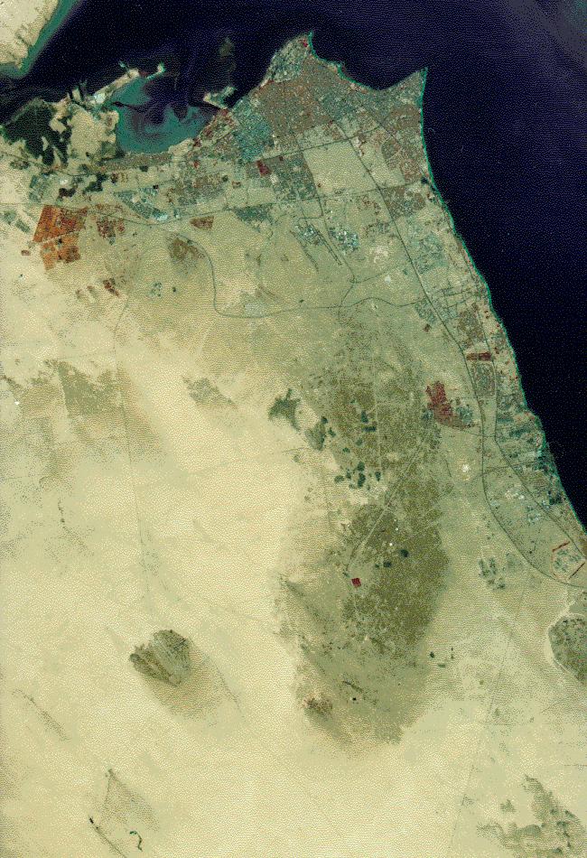
Imagery acquired by US Landsat remote sensing satellites document the orchestrated destruction of Kuwaiti oil fields by the occupying Iraqi forces. On 06 January 1991 the wells were intact.

fire1.jpg - 159.0 K

SOURCE: Reproduced with permission of Earth Observation Satellite Co. (EOSAT) Lanham, Maryland USA


FAS | Intelligence | IMINT Gallery | Iraq | Oil |||| Index | Search | Join FAS


http://www.fas.org/irp/imint/fire1.htm
Created by John Pike
Maintained by Webmaster

Updated Wednesday, May 14, 1997 2:54:22 PM